
Challenge: Is this stego?
Goal: Determine the real-world geographic coordinates of the location depicted in the challenge image and convert them into the required flag format.
Flag:
- Coordinates formatted as requested by the challenge specification.
Vulnerability & Methodology
The challenge provides a single image file (stego.png) and poses the question whether hidden data is embedded inside it:

Standard steganographic inspection (file carving with binwalk, LSB plane extraction with zsteg, and metadata analysis with exiftool) yields no hidden archives or flags. The challenge is actually an OSINT (Open-Source Intelligence) & Geolocation puzzle.
Visual Clues
- On the building facade and surrounding signage, the abbreviation “STGO” is visible. “STGO” is the standard abbreviation for Santiago, the capital of Chile.
- The infrastructure features a modern cable car terminal system situated at the base of a hill.
Attack Path
1. Identify the Landmark
Searching for cable car networks in Santiago points to the Teleférico Santiago (Santiago Cable Car) located in Parque Metropolitano on San Cristóbal Hill.
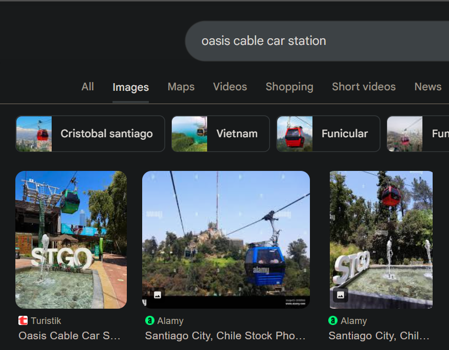
A query for the terminal stations reveals the Oasis Cable Car Station (Estación Oasis). Comparing photos of Estación Oasis confirms an exact match with the architectural structure, lighting, and layout seen in the challenge photo:
2. Extract Coordinates
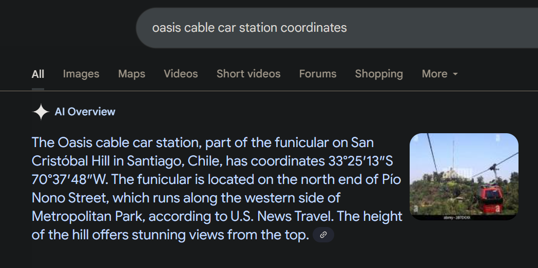
Locating Estación Oasis on Google Maps provides the precise GPS coordinates for the station entrance:
3. Format Flag
Convert the latitude and longitude into the coordinate format specified by the challenge prompt to submit the final flag.
Notes
- In CTFs, titles often serve as misdirection. When technical steganography analysis turns up dry, inspect the physical details of the media for OSINT identifiers (signage, language, architecture, terrain).